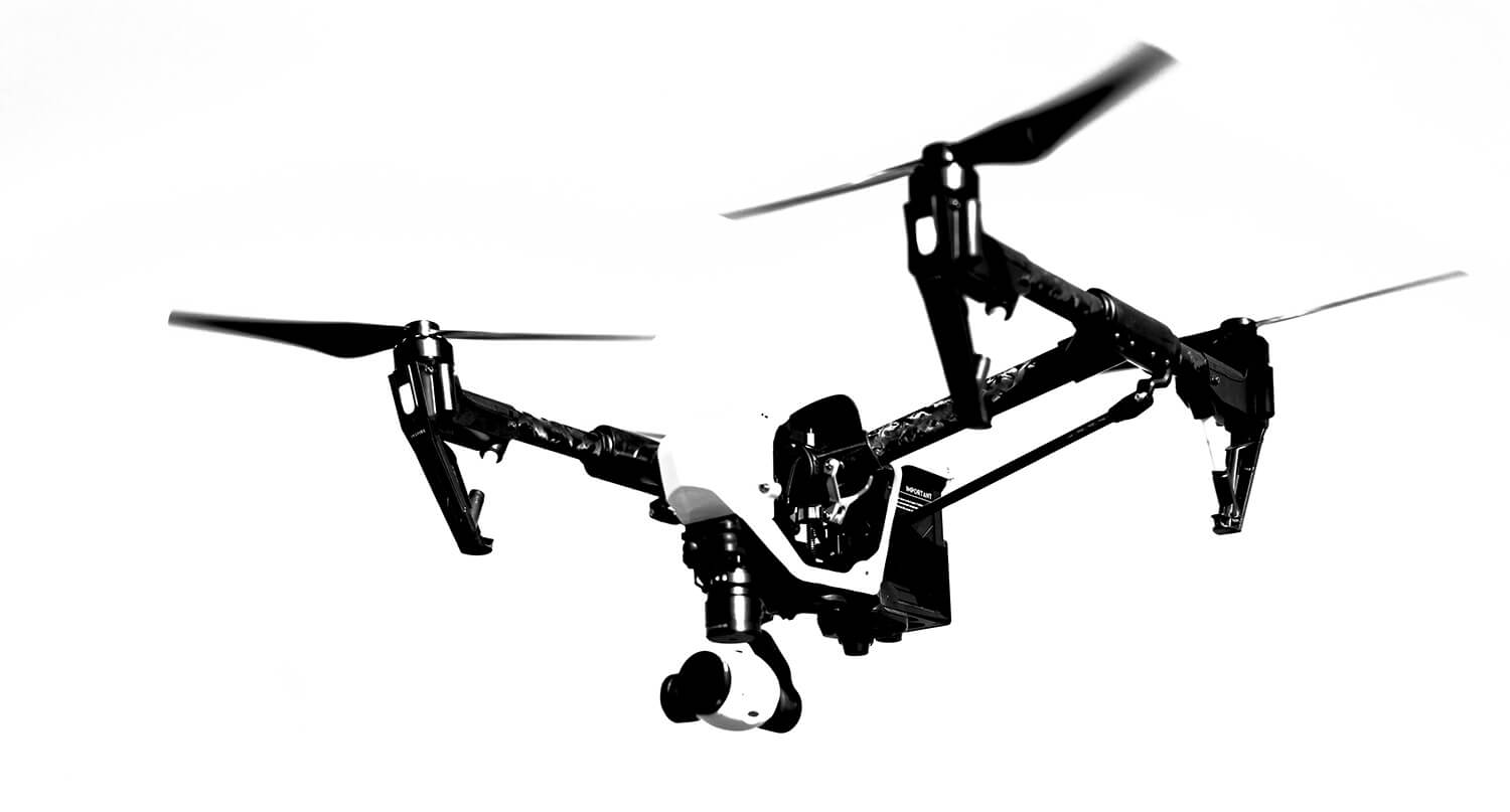
Aerial Data That Drives Action
Helping decision-makers make better decisions through a complete intelligence cycle: Plan. Collect. Analyze. Process. Deliver.

Clarity from Above
See your project in high-resolution detail with aerial maps, 3D models, and inspections.

Efficiency & Accuracy
Cut survey time, reduce costs, and gain centimeter-level precision with advanced drone tech.

Trusted by Professionals
Our deliverables integrate seamlessly with CAD, BIM, and GIS systems for engineers, architects, and managers.
Next-Level Aerial Intelligence
Transform raw aerial imagery into powerful insights. From high-resolution orthomosaics to 3D terrain models and thermal scans, our drone technology delivers the clarity and accuracy decision-makers need to move projects forward with confidence.
Our Services
Comprehensive drone intelligence solutions that transform aerial data into actionable insights — from planning and collection to analysis, processing, and delivery.
Aerial Mapping
Capture high-resolution imagery and survey-grade data for construction and infrastructure projects. From orthomosaics to 3D terrain models, our aerial mapping provides precise progress tracking and comprehensive site coverage.
Residential 3D Modeling
Bring homes and developments to life with interactive 3D models. Perfect for architects, builders, and real estate professionals, our residential 3D models enhance design, marketing, and client communication.
3D Modeling
Turn aerial data into accurate 3D digital twins for architects, engineers, and project managers. Our models integrate seamlessly into CAD, BIM, and GIS workflows for design, analysis, and collaboration.
Stockpile Measurement
Track stockpiles, quarries, and earthworks with centimeter-level accuracy. Our volumetric analysis saves time, reduces costs, and provides defensible reports for contractors, managers, and investors.
Drone Inspections
Perform safe, fast, and cost-effective inspections of rooftops, buildings, infrastructure, and industrial assets. Using high-resolution imagery and thermal scans, we detect issues without putting workers at risk.
Compliance Guaranteed
Every mission is carried out under Transport Canada and Nav Canada regulations, with RTK-enabled workflows ensuring survey-grade precision.
Optimized for Accuracy and Insight
We deliver drone intelligence that’s safe, compliant, and designed to give decision-makers reliable data they can trust. From planning through delivery, every stage is optimized for precision and impact.
Contact Us
Have a project in mind? Let’s talk about how our drone intelligence services can help you capture accurate data, streamline operations, and make better decisions.
Revolutionary Aerial Solutions
Experience how drone technology transforms data into powerful insights — from high-resolution mapping to 3D modeling, inspections, and more.