Stockpile Measurement
Drone Stockpile Measurement & Volumetric Analysis
Accurate Volumetric Site Measurements
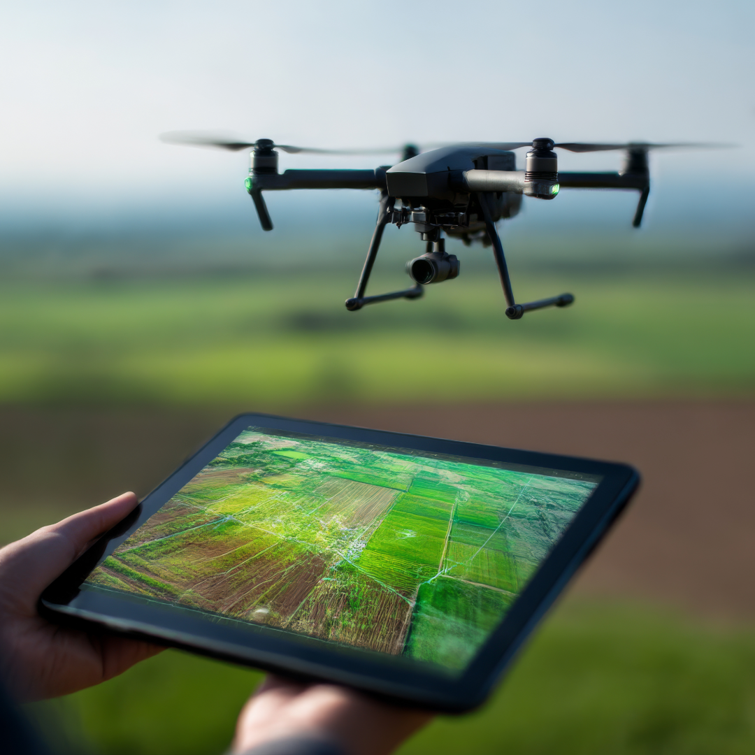
Accurate stockpile measurement is critical for construction, mining, and infrastructure projects — and drones make it faster, safer, and more reliable than traditional methods. Using RTK-enabled drones and advanced photogrammetry, we capture high-resolution aerial imagery to generate precise 3D models of stockpiles, quarries, and earthworks. From these models, we calculate volumes, cut-and-fill quantities, and material movement with centimeter-level accuracy, allowing managers and stakeholders to track resources, verify deliveries, and control project costs without sending crews into hazardous terrain.

Key Benefits
Accuracy at Scale
RTK workflows and ground control points deliver survey-grade volumetric data.
Consistent Monitoring
Repeat measurements weekly, monthly, or at project milestones to monitor change over time.
Time & Cost Savings
Measure large areas and multiple piles in a fraction of the time compared to ground crews.
Stakeholder Confidence
Reliable, timestamped reports provide defensible data for contractors, managers, and investors.
When you order a stockpile measurement or volumetric analysis, you’ll receive:
High-Resolution Orthomosaic Map: A clear, accurate bird’s-eye view of your site stitched from drone imagery.
3D Model / Digital Surface Map: Interactive 3D models compatible with Revit, SketchUp, AutoCAD, and GIS platforms.
Volume Calculation Report: Detailed tables showing pile dimensions, material volumes, and cut-and-fill analysis, validated by RTK and ground control points.
Change-Over-Time Comparisons: Side-by-side visuals or graphs showing how volumes change over weeks, months, or project milestones.
Stakeholder-Ready PDF & Digital Files: Easy-to-read summary reports for managers, contractors, and investors, plus export-ready files for engineers and designers.
This deliverable doesn’t just measure piles — it provides a clear, defensible record of site activity, supporting project planning, cost control, and dispute resolution.
Contact Drone Intel Solutions
Get in Touch
Whether you have questions, need a quote, or want more information about our services, we’re here to help.
Our Commitment
We provide reliable, high-quality drone solutions and support for every project.