3D Modeling
3D Modeling
Precision Site Modeling
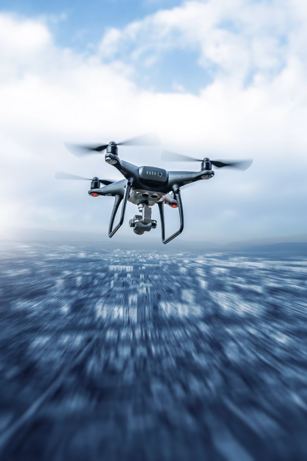
3D modeling brings projects to life by transforming aerial data into accurate, interactive digital representations of your site. Using high-resolution imagery, photogrammetry, and RTK-enabled drones, we create survey-grade 3D models that capture every contour, structure, and detail from multiple angles. These models integrate seamlessly with Autodesk Revit, SketchUp, AutoCAD, and GIS systems, providing architects, engineers, and project managers with a powerful tool for design, analysis, and collaboration.

Key Benefits
Design
Integration
Export models into BIM and CAD workflows, enabling smooth team collaboration.
Volume & Measurement
Accurately calculate stockpile volumes, cut-and-fill measurements, and site dimensions.
Progress Monitoring
Compare 3D models created weekly or monthly to track changes, detect errors, and document milestones.
Dispute Resolution
Provide a verifiable 3D record of site conditions, protecting against claims and legal challenges.
Your Site’s Digital Twin for Smarter Project Delivery
From early-stage planning to final project delivery, 3D modeling turns aerial imagery into a living digital twin of your site — empowering smarter decisions, stronger collaboration, and greater confidence at every stage.
Contact Drone Intel Solutions
Get in Touch
Whether you have questions, need a quote, or want more information about our services, we’re here to help.
Our Commitment
We provide reliable, high-quality drone solutions and support for every project.