Aerial Mapping
Aerial Mapping
Precision Insights from Above
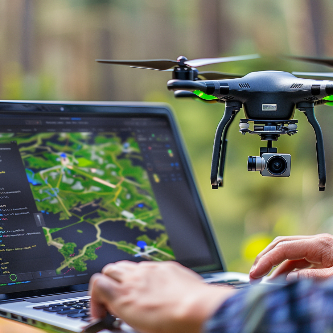
Revolutionize how you monitor and manage construction and infrastructure projects with high-resolution aerial mapping. Using RTK-enabled drones, photogrammetry, and advanced sensors, we capture precise orthomosaics, 3D terrain models, and digital surface maps — all compatible with Revit, SketchUp, AutoCAD, and GIS systems.


Key Benefits
High
Accuracy
Centimeter-level precision with RTK and ground control points.
Stakeholder Confidence
Clear visuals and reports for engineers, managers, and investors.
Comprehensive Coverage
Survey large areas quickly and efficiently.
Dispute Prevention
Timestamped aerial records protect against conflicts and legal issues.
Smarter Data for Smoother Projects
From site layouts to stockpile volumes, progress documentation to defensible evidence, our aerial mapping delivers actionable intelligence that saves time, reduces costs, and ensures projects run smoothly.
Contact Drone Intel Solutions
Get in Touch
Whether you have questions, need a quote, or want more information about our services, we’re here to help.
Our Commitment
We provide reliable, high-quality drone solutions and support for every project.
