Agriculture & Farming
Agriculture & Farming Solutions
Smarter Farming for Higher Yields
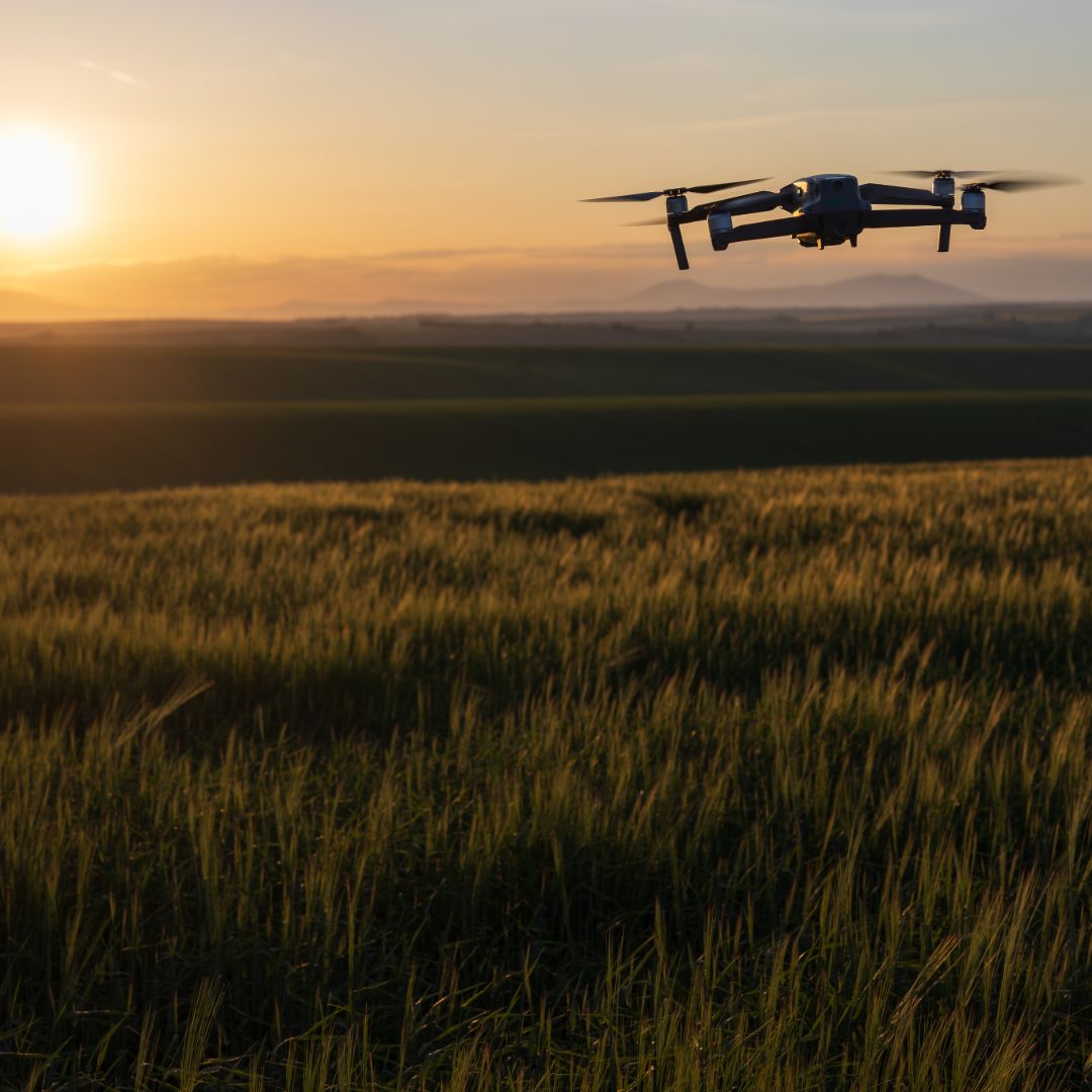
Harness the power of aerial intelligence to monitor crop health, optimize yields, and manage resources efficiently. Our RTK-enabled drones capture precise, high-resolution data to help farmers and agronomists make smarter, faster decisions.

Services
Crop Health Mapping (NDVI & NDRE Analysis): Detect plant stress early using multispectral imaging to monitor chlorophyll levels, irrigation needs, and nutrient deficiencies.
Aerial Field Mapping & Orthomosaic Imaging: Generate high-accuracy maps for field planning, irrigation layout, and seasonal documentation.
Plant Population & Emergence Analysis: Assess uniformity, stand counts, and replant zones through advanced AI-assisted analysis.
Soil & Drainage Assessment: Identify compaction zones, poor drainage, and erosion areas to improve land management practices.
Irrigation & Water Management: Detect over- or under-irrigated zones using thermal and multispectral data for efficient water use.
Crop Damage & Insurance Assessment: Document weather, pest, or wildlife damage with date-stamped aerial evidence for insurance claims and reporting.
Yield Estimation & Growth Tracking: Track crop maturity over time to forecast yields and optimize harvest scheduling.
3D Terrain & Contour Mapping: Create precise elevation and contour models to support irrigation design and land grading.
Contact Drone Intel Solutions
Get in Touch
Whether you have questions, need a quote, or want more information about our services, we’re here to help.
Our Commitment
We provide reliable, high-quality drone solutions and support for every project.
